hetton local history group in sunderland
click here to
return to homepage

Hetton Local History Group - Boundary Heritage Walk

Point C information        

(GR 348 485)

Directions to point D (GR 344 486)

Continue along the path leaving the wood behind you. On your right you will see a ditch parallel to the path. This is part of the mill race or leat which formed part of the mill system at Rainton Bridge more than a quarter of a mile away to the west. After going through a gate there is a wooden seat and information board. At this point walk to the metal gate and stile close by. At the gate look to the north in the direction of a large tree.

(point D) QR Code or link to information


Point C Now a Site of Special Scientific Interest (SSSI) Hetton Bogs is purely a man-made feature in spite of the fact that it looks natural. Within the last 50 years the boggy area has increased in size but initially it was formed from water backing up from two mills which used the beck water to drive machinery. Once the mills closed, the water no longer flowed along the mill races but allowed stagnant pools to form which have grown into the marshy area we see today. Willow trees now populate much of the bog whereas years ago the whole area was open country.


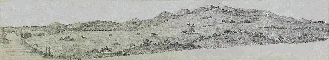
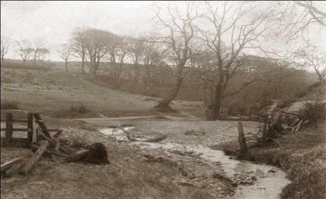
An early photograph of Hetton beck as it approaches the Bogs area                                                   A modern photograph of the bogs area


-- info@hettonlocalhistory.org.uk --